
Address
Jakkur, International Airport Road
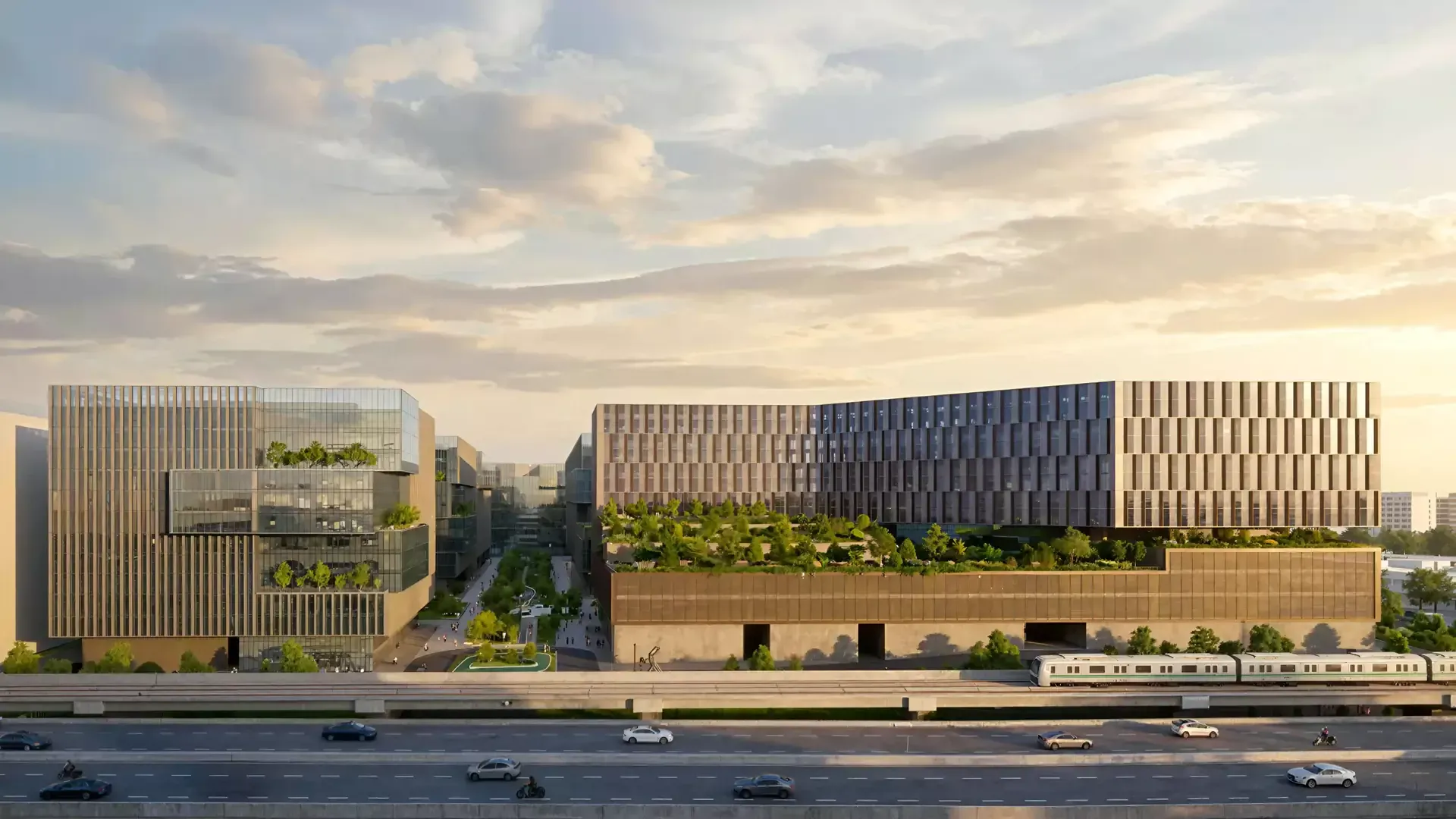
Direct frontage on NH-44 between Hebbal and Yelahanka — close enough to commute, far enough out that the airport run does not involve the city.
Century Blue Moon Location — Jakkur, International Airport Road
Century Immencity has direct frontage on the International Airport Road — NH-44, the Bellary Road corridor — at Jakkur, between Hebbal and Yelahanka. This is the most consequential road in Bangalore residential real estate: the only corridor where a six-lane signal-free expressway, an international airport, an elevated flyover network and a planned metro line all landed in the same twenty-year window.
Get Driving Directions →Location & Connectivity
Jakkur, on the Most Consequential Road in Bangalore Real Estate
Between Hebbal and Yelahanka
Century Immencity has direct frontage on the International Airport Road — NH-44, the Bellary Road corridor — at Jakkur. It is the only corridor where a six-lane signal-free expressway, an international airport, an elevated flyover network and a planned metro line all landed in the same twenty-year window. Jakkur sits at the point where you are still close enough to Hebbal and Manyata to commute, and already far enough out that the airport run does not involve the city.
- ✓Direct frontage on the International Airport Road (NH-44)
- ✓Jakkur Aerodrome — approx 3 km
- ✓Yelahanka — approx 5 km
- ✓Manyata Tech Park — approx 6-8 km
- ✓Hebbal Flyover & ORR interchange — approx 7-9 km
- ✓Kempegowda International Airport — approx 20-25 km, 20-25 min
- ✓Namma Metro Blue Line (Phase 2B) planned along the corridor
- ✓Mallya Aditi, Canadian International & Vidyashilp nearby
| Destination | Distance | Notes |
|---|---|---|
| Bellary Road / NH-44 | direct frontage | signal-free corridor |
| Jakkur Aerodrome | approx 3 km | flying club |
| Yelahanka | approx 5 km | established suburb |
| Manyata Tech Park | approx 6-8 km | primary employment |
| Hebbal Flyover | approx 7-9 km | ORR interchange |
| Outer Ring Road | approx 5-10 km | via Hebbal |
| Kempegowda International Airport | approx 20-25 km | 20-25 min via NH-44 |
Distances are approximate and measured from the township gate by road. Drive times vary with traffic. Verify at your own commute hour during a site visit.
The NH-44 Corridor
A six-lane, signal-free expressway runs past the township gate. Bellary Road is the spine along which North Bangalore's commercial, retail and residential growth has compounded fastest — and Jakkur sits at the point on it where the city commute and the airport run are both short.

The Blue Line Metro
The Namma Metro Blue Line, Phase 2B, will run along the airport corridor with stations planned in the Jakkur belt. Verify the current station alignment against the BMRCL published plan before treating any station as confirmed.
The Manyata Commute
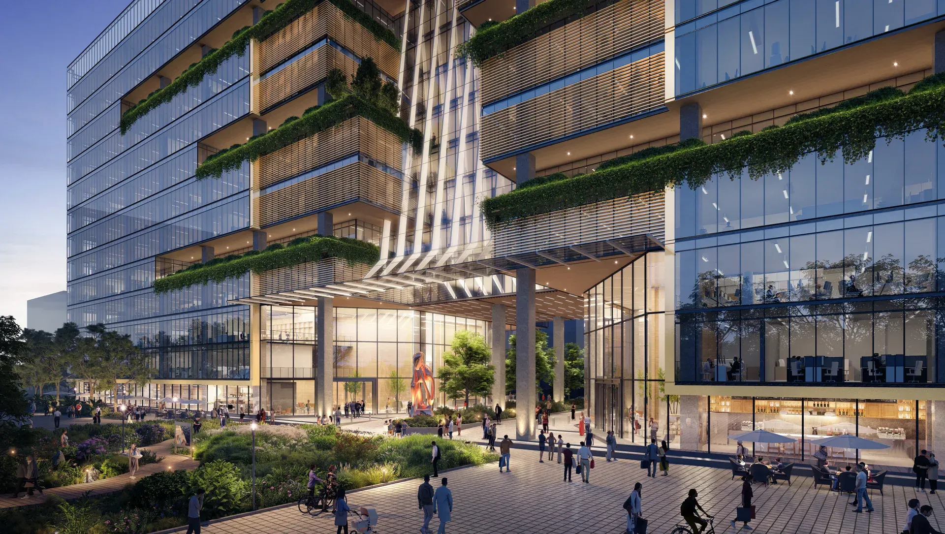
Manyata Tech Park, the corridor's primary employment centre, is approximately 6 to 8 km away. Hebbal and the Outer Ring Road interchange are 7 to 9 km. Drive the route at your own commute hour on a site visit.
Schools Near Century Blue Moon
International and CBSE schools serving the Hebbal–Yelahanka corridor.
- •Mallya Aditi International School
- •Canadian International School
- •Vidyashilp Academy
- •Ryan International School
- •Delhi Public School North
- •Stonehill International School
Healthcare Near Century Blue Moon
Multi-specialty and specialist hospitals across Yelahanka and Hebbal.
- •Sparsh Hospital Yelahanka
- •Manipal Hospital
- •Aster CMI Hospital Hebbal
- •Columbia Asia Hebbal
- •Cytecare Cancer Hospital
- •Baptist Hospital
Workplaces Near Century Blue Moon
North Bangalore's employment belt — tech parks, campuses and the aerospace cluster further north.
- •Manyata Tech Park
- •Karle Town Centre
- •Kirloskar Business Park
- •Collins Aerospace
- •Sattva Horizon and L&T technology campuses
- •KIADB Aerospace Park
Retail & Leisure Near Century Blue Moon
Malls on the corridor, and the township's own retail as it completes.
- •Phoenix Mall of Asia
- •RMZ Galleria
- •Elements Mall
- •Esteem Mall
- •The township's own high-street retail and gourmet district
Distances are approximate and measured from the township gate by road. Drive times vary with traffic. Verify at your own commute hour during a site visit.
FAQ
Location — Frequently Asked Questions
Where exactly is Century Blue Moon?+
Inside Century Immencity on the International Airport Road — Bellary Road, NH-44 — at Jakkur in North Bengaluru, between Hebbal and Yelahanka, with direct highway frontage.
How far is Century Blue Moon from Kempegowda International Airport?+
Approximately 20 to 25 km — a 20 to 25 minute drive via the signal-free NH-44 corridor. Verify the drive time at your own travel hour.
How far is Manyata Tech Park?+
Approximately 6 to 8 km. Hebbal Flyover and the Outer Ring Road interchange are approximately 7 to 9 km.
Is there a metro station near Century Blue Moon?+
The Namma Metro Blue Line, Phase 2B, will run along the airport corridor with stations planned in the Jakkur belt. Verify the current station alignment against the BMRCL published plan before treating any station as confirmed.
Which schools are near Century Blue Moon?+
Mallya Aditi International School, Canadian International School, Vidyashilp Academy, Ryan International School, Delhi Public School North and Stonehill International School all serve the corridor.
What is the pin code?+
Jakkur, Bengaluru 560064.